Hi
The floor of your map example map measures 1000 x 1000 metres in each direction . But what does the height range (0 minimum to 1 maximum) represent? If it represents 0 to 1 metre then you would enter height/length = 1/1000 = 0.001 and all the angles are going to be very shallow, if it represents 0 to 1000 metres then you would enter height / length = 1000/1000 = 1 and some of the angles are going to be very steep. If you use want accurate min/max angles in the mask then what that height scale represents is an essential input.
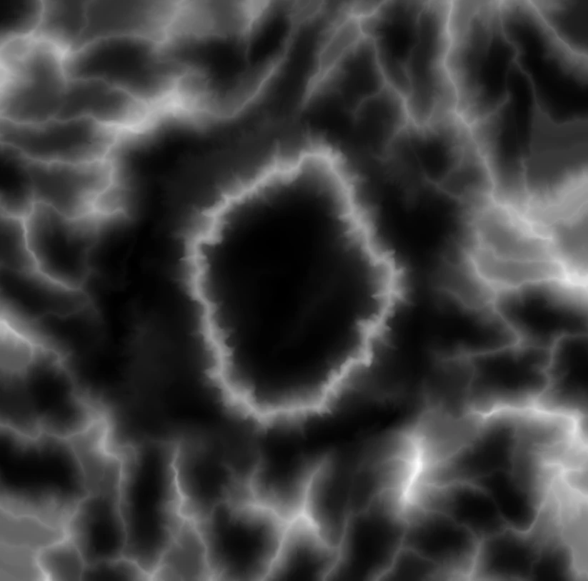
'The heightmap represents 1000x1000 meters and was rendered as a 8192x8192px grayscale 16bit single channel png file (the one I provided a few posts earlier but downsaled to 2048x2048 so that I can attach it here). So I'm not sure which values should I input into height ratio input - would 0.5 be fine for that?'
In your example, by entering 0.5 you are saying that the height range represented by 0 to 1 values in the map is 0 to 0.5 x 1000 = 500 metres
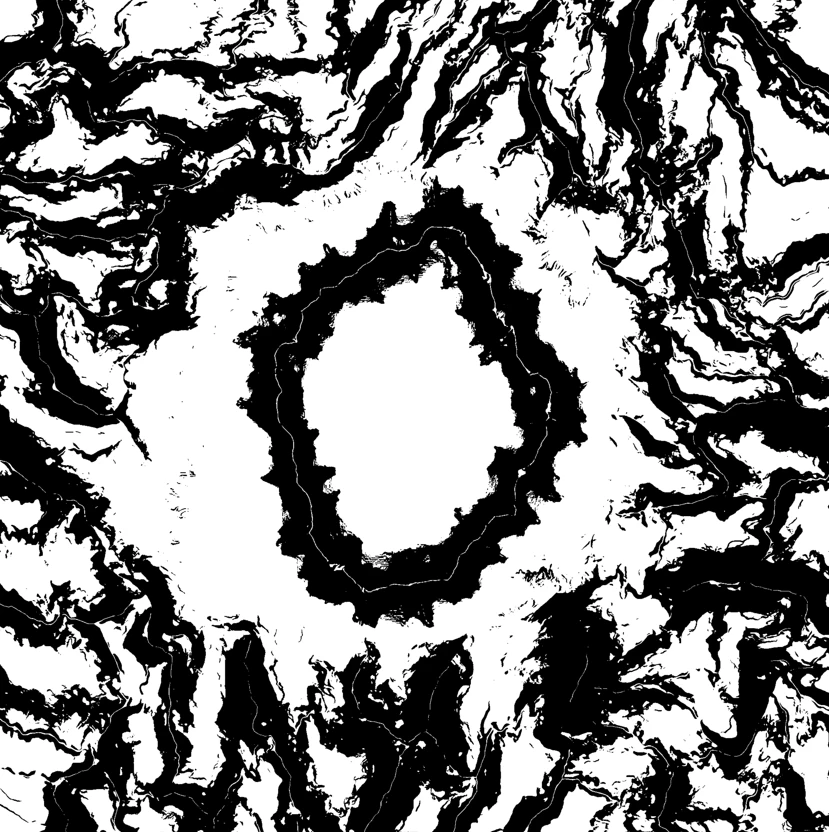
'Another question so if I want to have a 0 - 20° mask - should I need to set Min Angle to 0 and Max Angle to 20?'
Yes but, as stated above, those values can only be accurate if you have entered the height proportion value accurately.
Dave