completely different results shown on screen and when printing
I've got some weird problems with the visibility of my illustrator-drawn (2017 cc) map when printed and when shown on screen.
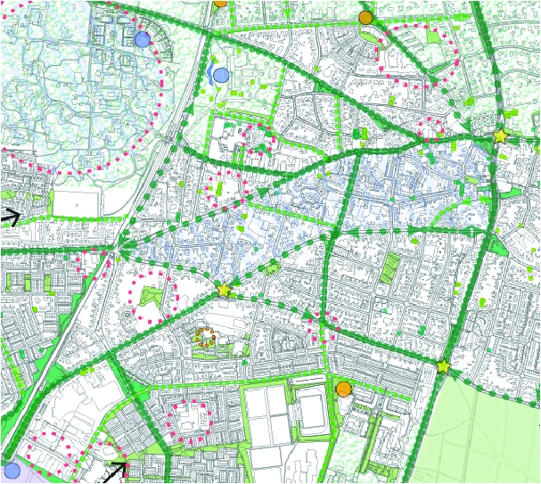
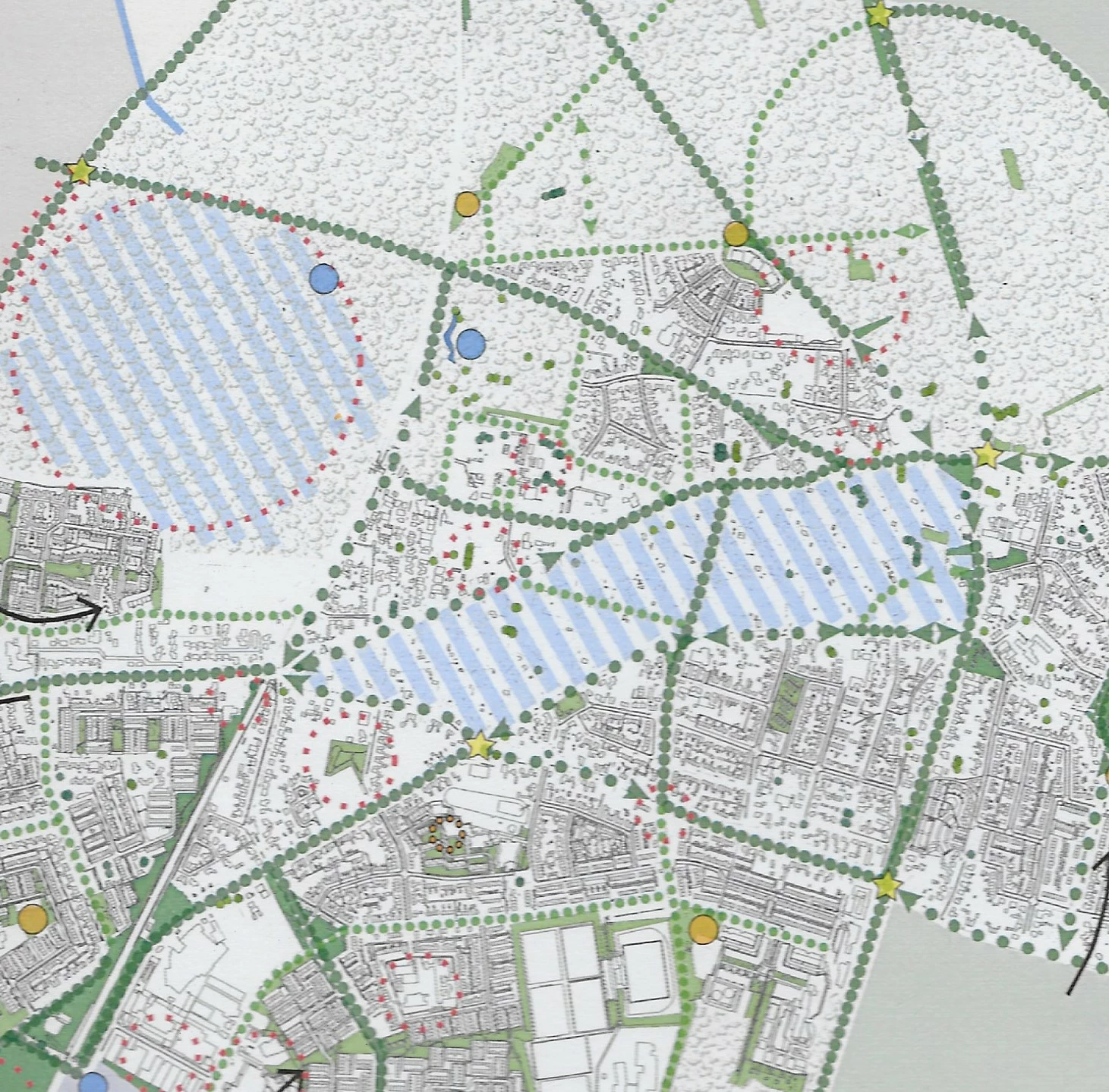
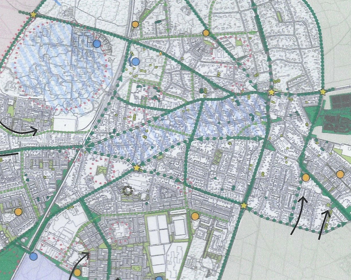
In some way my cadastral background is shown differently when printed on different document sizes. Below i got three examples of my map. The most above is an export of my map as it looks when created a pdf on print quality. The second one is a scan of an A3 print of the pdf and the last one a scan of an A4 print of the pdf.
As you can see at the second image: the cadastral background is partialy dissapeared. Can anyone tell my how this is possible? I've been changing settings all along the road but the printing results keep differing from partial fall aways to huge fall aways and when i thickin the lines it becomes too thick and black when printed.
Can someone tell me what i'm missing or how to maybe solve this anoying problem?