Participant
January 4, 2020
Question

Making a vector map of a city

  • January 4, 2020
  • 4 replies
  • 3467 views

Hi all,


I'd like to create a vector map of a city, much like this map from a company called Mapery (Etsy store):


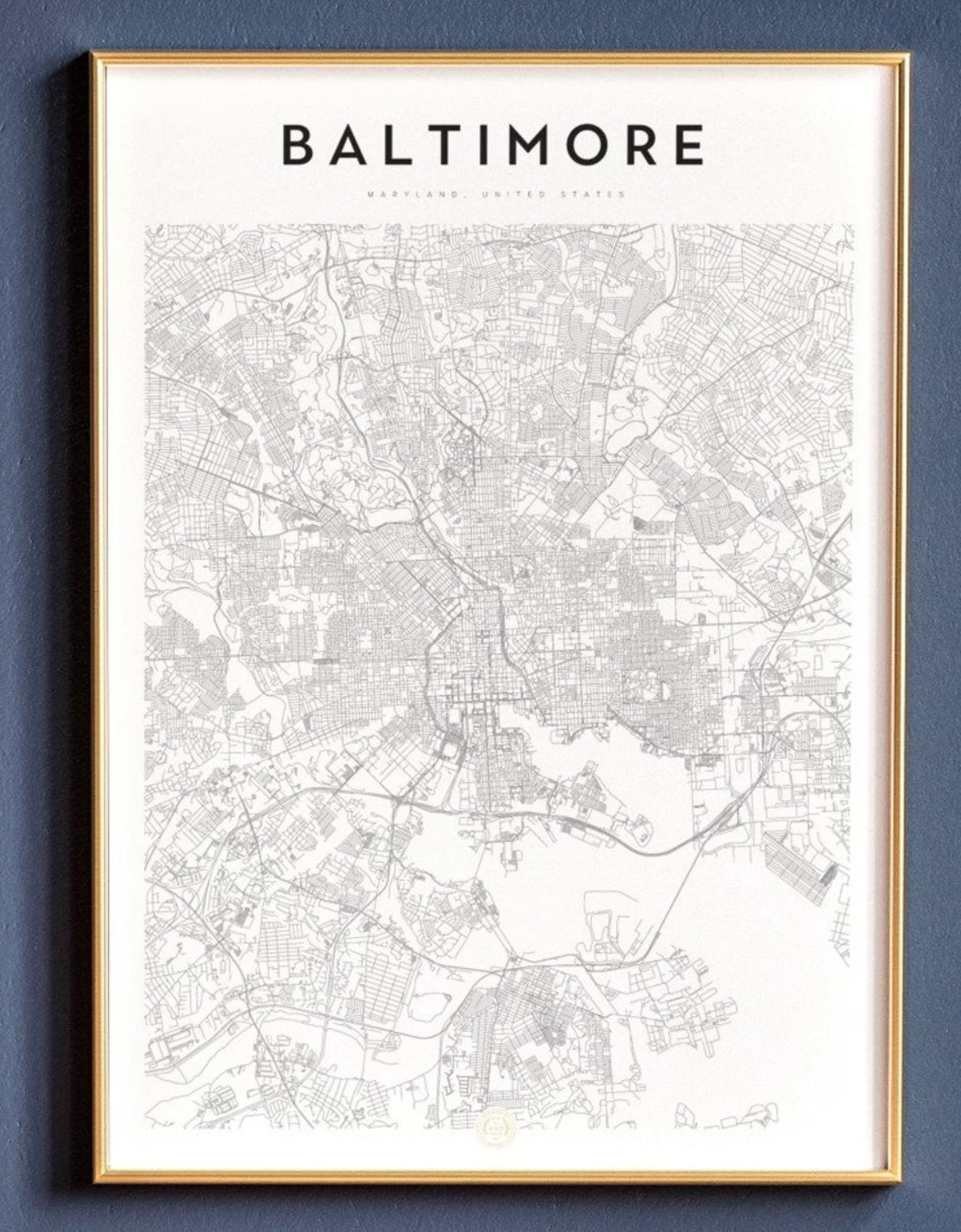
As you can see, there is quite a bit of detail in a map like this and I think that tracing a Google maps image with the pen tool would require A LOT of time. Does anyone know of a faster way to create a map like this?


Best regards,

Roel

This topic has been closed for replies.

4 replies

Kurt Gold
Community Expert
Community Expert
January 6, 2020

There are faster ways than tracing or just taking (maybe thieving as Test_Screen_Name rightfully mentioned) existing stuff, but they require a lot of expertise.


You may do a Wikipedia search for geographic information system to get an idea what that means.

Legend
January 5, 2020

Please bear in mind that maps, like other stuff, are copyright, and it is considered theft to trace a Google map, or any other map less than about 100 years old, unless you have a license to do so. The copyright protects the work done (of walking around, measuring and so forth) and if you want a free map you have to do the walking. Mapmakers often include imaginary features and places, so they can discover who has stolen their maps, and sue them. Mapmakers have departments devoted to discovering and following up theft... See https://en.wikipedia.org/wiki/Trap_street  "In a 2001 case, The Automobile Association in the United Kingdom agreed to settle a case for £20,000,000 when it was caught copying Ordnance Survey maps. "

barbara_a7746676
Community Expert
Community Expert
January 5, 2020

This web site has city maps that you can download https://www.mapresources.com/collections/usa-city-maps

Monika Gause
Community Expert
Community Expert
January 4, 2020

You could try and download the data from OpenStreetMap. Depending on what you want to do with it, this might or might not be covered by the license.

You could also try and get the data from the city's officials.

Then you would still need to do the styling. And delete a lot of stuff that you don't need.