Auto-joining line segments?
Copy link to clipboard
Copied
I have a bunch of maps generated by GIS software I need to work with. All of the lines are broken into hundreds of small segments, which makes it very difficult and time consuming to work with. I want to join the line segments, but selecting groups of segments and using either Join or Pathfinder|Unite doesn't quite work. I get segments that close back on something else, creating new, incorrect lines. Is there a way to search for endpoints that are within a specified distance and have them merge and join? Or some other technique I could use to get these maps in more functional form? I need to do a lot of manipulation on this data, so any tips would be massively appreciated!

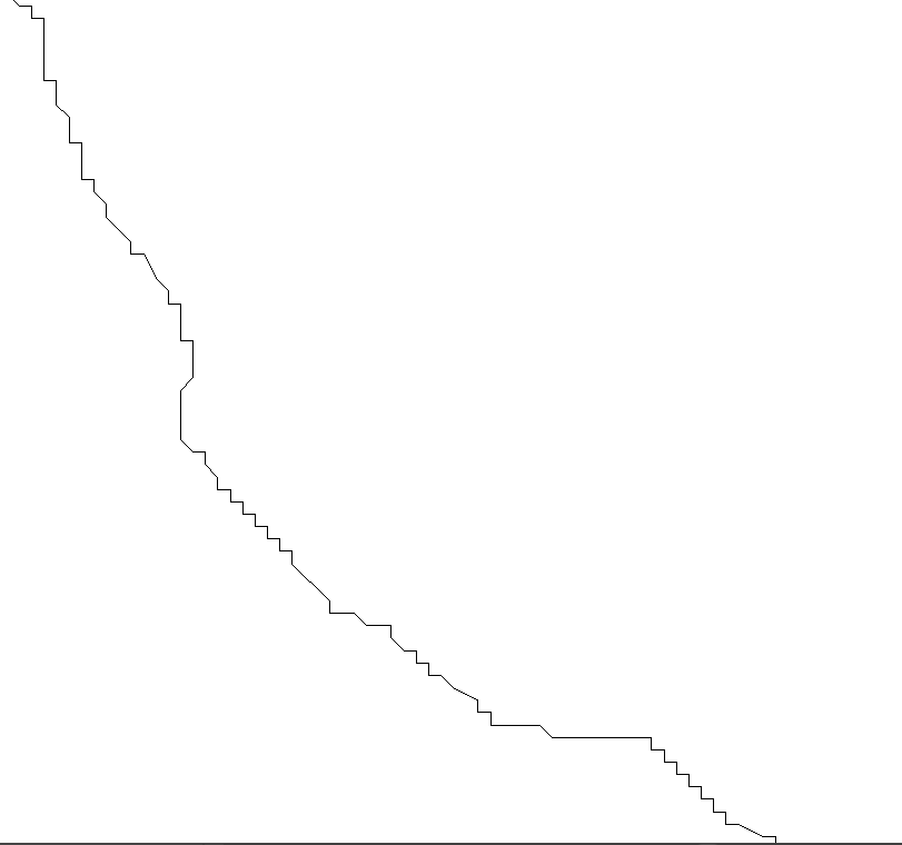
Sample line segments—the end points are all concurrent on the X and Y axes. This is a very small part of one of the maps I need to manipulate.

Same line segments after using Join.

Same line segments after using Pathfinder|Unite on them.
Explore related tutorials & articles
Copy link to clipboard
Copied
Which version of Illustrator are you using?
Can you share a typical sample .ai file?
Copy link to clipboard
Copied
May be you can use a plugin named concatenate form this site
Adobe Illustrator plugins - rj-graffix
Give it a try
Copy link to clipboard
Copied
Depending on what you are trying to do with the maps, selecting all and converting it to a Live Paint Object may be helpful.
That's how I deal with Autocad DWG files, which are made of segments like this also.
Copy link to clipboard
Copied
The plug-in VectorFirstAid should do exactly what you want.
Copy link to clipboard
Copied
give Mr. Sato's join reasonably script a try
Copy link to clipboard
Copied
This is your answer VectorFirstAid - Astute Graphics
Find more inspiration, events, and resources on the new Adobe Community
Explore Now


