
Question
Is there a Way to Make an Image of a Sphere into an Equirectangular (Mercator) Projection?
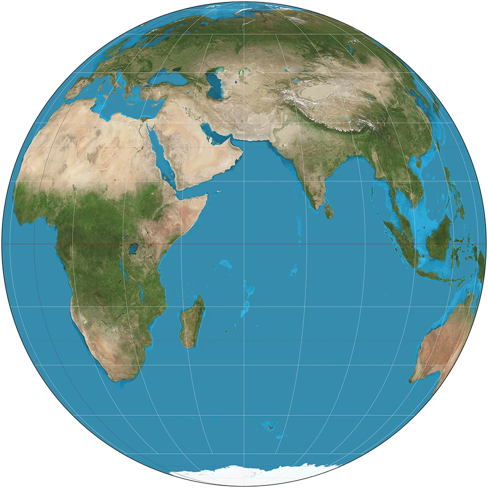
I want an image like this
https://upload.wikimedia.org/wikipedia/commons/f/fe/Orthographic_projection_SW.jpg
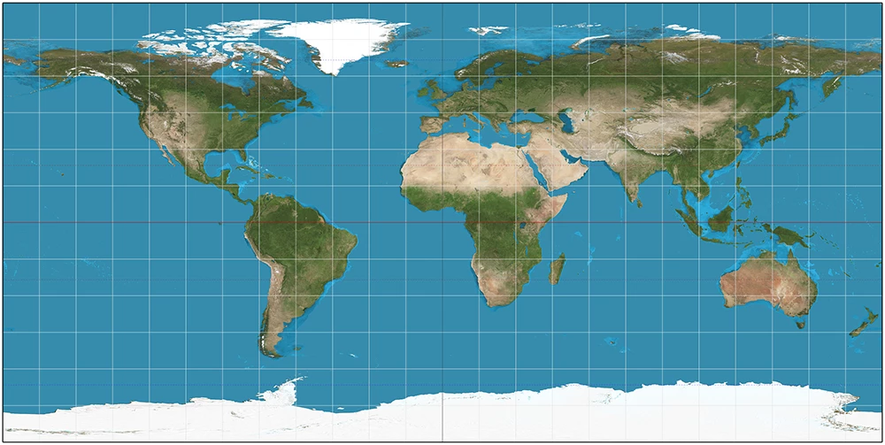
to be turned into an image like this
Equirectangular projection - Wikipedia.
Is there any way to do it?