

Need help opening a DEM file
I'm trying to work with a DEM file that is 11Gig in size. The height map of mars. This file can be downloaded here. The height map when added to a 3D software will interpret the terrain of this map. However there seem to be a large degree of compression and that will interffere with the accuracy of the map.
This file should look like this:

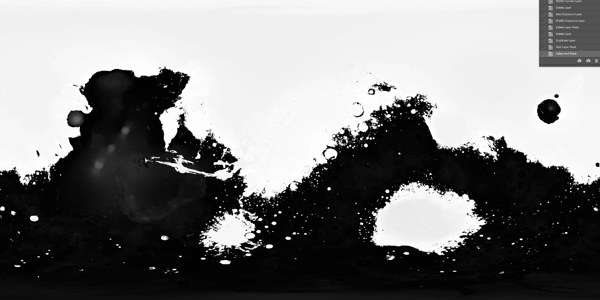
But instead when oppend in PS looks like this and with way less resolution
I was told by someone I needed to enter this code in order to conver this file
Hi Marcos,
I think your software may be misinterpreting the data type of the pixels in the image. The label says this:
SAMPLE_TYPE = MSB_UNSIGNED_INTEGER
SAMPLE_BITS = 16
UNIT = METER
SCALING_FACTOR = 0.25
OFFSET = -8000
Your help is appreciated!