Superimpose layers
Copy link to clipboard
Copied
Hi,
i found a framework about Turin quarters and i wish to superimpose on a real map image, maybe from google earth,
How can i scale and allign the scheme to the map? http://www.mole24.it/wp-content/uploads/2012/07/Circoscrizioni_torino.png
i think i will import both images as separated layers, and then play with transparency. But i don't how to do the remaining part
Explore related tutorials & articles
Copy link to clipboard
Copied
When scaling, hold down the shift key to constrain the scale in proportion and move any corner bounding box.
You can hold down alt+shift to constrain the scaling about the centre point.
As far as completing the remaining part, I cannot open your link for some reason so not sure exactly what you mean.

Copy link to clipboard
Copied
astrobutch0901 wrote
As far as completing the remaining part, I cannot open your link for some reason so not sure exactly what you mean.
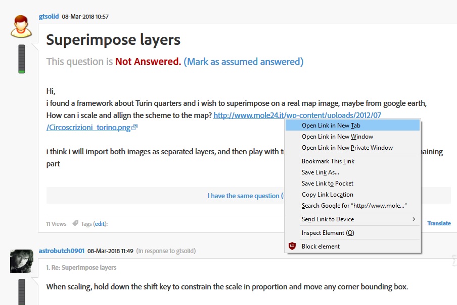
If you right click on the link and select Open link in New Tab it should work, works for me that way in Firefox

Copy link to clipboard
Copied
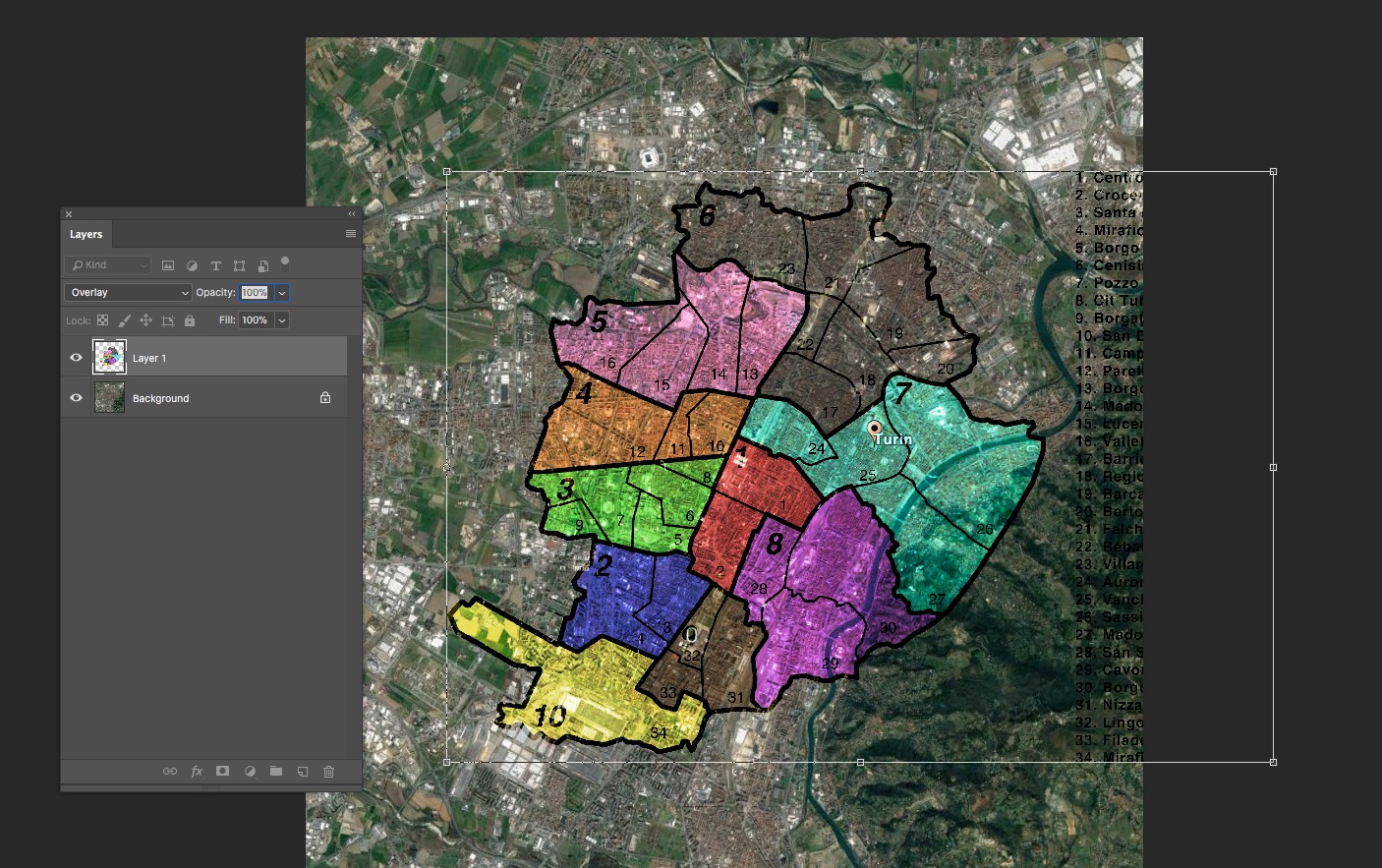
Open both your documents in PS. The Map and the overlay.
There are many ways you can create 2 separate layers but on the overlay you can hit cmd+a(mac) or ctrl+a(pc) and that will select the whole overlay document.
Copy and paste onto the Map layer and you'll have the two layers, overly on top.
I would then change the blend mode of the overlay layer to "overlay" as per image below
As per my previous post, transform the overlay layer by hitting cmd+t(mac) or ctrl+t(pc) and scaling to fit the map.
Flatten the image an save as a JPG
Hope that helps
