Question
Google Maps based geotagging extension for Bridge
Hi,
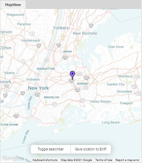
I wanted to be able to geotag images and show their location on a map view using Bridge, so I have been working on an extension to do that. Basic functionality seems to work so far so I published it on my github: bridge-map-view
It is based on Google Maps so you need to create an API key. It is a little convoluted process but Google has pretty conclusive documentation about it. The extension is also not signed/packaged, since I don't really understand how to, so you need to just download the source files and enable debug mode in Bridge to use it. More instruction in the README.
Let me know if you find it useful or if it is not working, I will gladly help.