GPS data loaded from track log wildly inaccurate
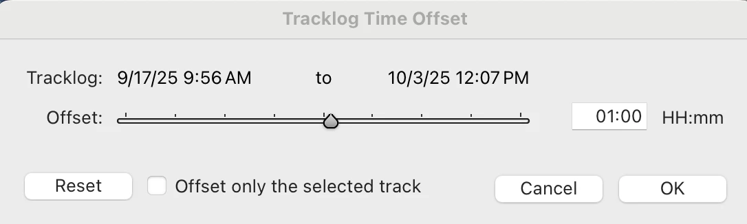
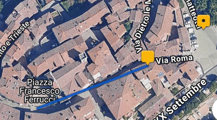
I was recently on a walking holiday in Tuscany, Italy. I took a lot of photos. I have an app, Geotag2 Pro, installed on my iPhone which logs times and GPS locations. When I got home I loaded the photos into Lightroom Classic (14.5.1 on macOS) and told Lightroom to apply the tracklog. To be fair the results were all in Tuscany, but all over the place. Photos taken a couple of minutes apart were miles apart on the map.
I contacted GeoTag support for advice and they told me to download their tagging app which I did and used on copies of my Tuscany photos. I then created a separate Lightroom Catalog with just those copies. The results were much, much better; there were a few anomolies but they could be explained by the way the Geotag 2 Pro works and if their logging app can't place a photo in a reasonable place in the time line, it doesn't do anything to it.
Has anyone else experienced this problem, or have any ideas for improving the situation? The Geotag logging app seems to work better but does involve an extra step and it takes a lot longer than using Apply Tracklog in Lightroom.
I'm looking forward to any feedback.
Jack